Did you know?
The Government of Québec is currently reforming the cadastre for the entire province. This reform became necessary as the original cadastre, established in 1860, was imperfect and contained anomalies, inaccuracies and inconsistencies. The new version is scheduled to be completed by 2021.
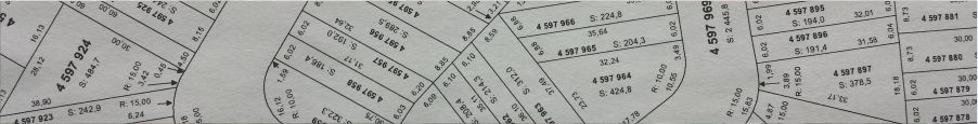
When is a cadastral operation necessary? Cadastral operations officialise a change in the cadastre. For instance, it is necessary if you would like to subdivide a lot to sell parts of it or combine different lots to create a bigger one containing your entire property. Your land surveyor will make sure that the result conforms to all applicable laws and by-laws, allowing you to obtain all necessary permits and certificates.
How do we proceed? As soon as we have all the plans, and after confirming your operation is legally possible, we will proceed with a subdivision application. If the operation is not possible, we will discuss the alternatives with you. Following receipt of the accepted subdivision application, park fees may be incurred and paid to the city for each subdivision. Then, a subdivision application will be sent to the Direction de l’enregistrement cadastral du Québec in order to officialise your intentions and obtain your lots numbers. These numbers will then be added to the official cadastre, as well as the dimensions, shape, position and area of the new lot(s). Finally, if necessary, survey markers will be installed on the lot(s) allowing you to physically view your property lines.
I would like to build a condo. Is it different for me? Yes. More steps are necessary when constructing this type of building and we strongly recommend you contact your land surveyor in order to determine the feasibility of the project you have in mind. For instance, condominium plans must include both common areas and private portions. A vertical plan will also be necessary in order to indicate the height of each section of the condominium.
To determine the different options available for you and your project, please contact your land surveyor at 819-777-4331 or email info@asdag.ca!
Contact us